
← AGP Consulting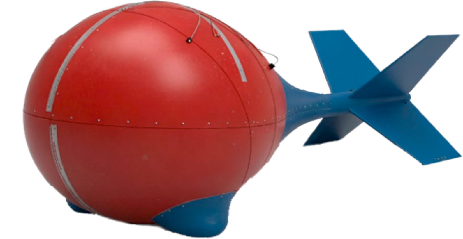
25–20,000 HzFrequency range
120,000 HzSampling rate
No transmitterNatural field source
AGP-MT
System overview
AGP-MT is an airborne geophysical system based on passive electromagnetic surveying using the magnetovariational method. AGP-MT uses naturally occurring electromagnetic fields and requires no artificial transmitter, enabling investigation of subsurface resistivity over a broad range of depths.
The standard AGP-MT configuration includes magnetometry and can be expanded with gravity surveying, gamma-ray spectrometry, airborne laser scanning and aerial photography.
System characteristics
- Three magnetic components in flight; three magnetic and two electric components at the base station
- Broad frequency range: 25–20,000 Hz, from near-surface to deeper structures
- Sensitivity to conductive and resistive targets
- Potentially greater investigation depth than time-domain EM, depending on conditions
Core capabilities
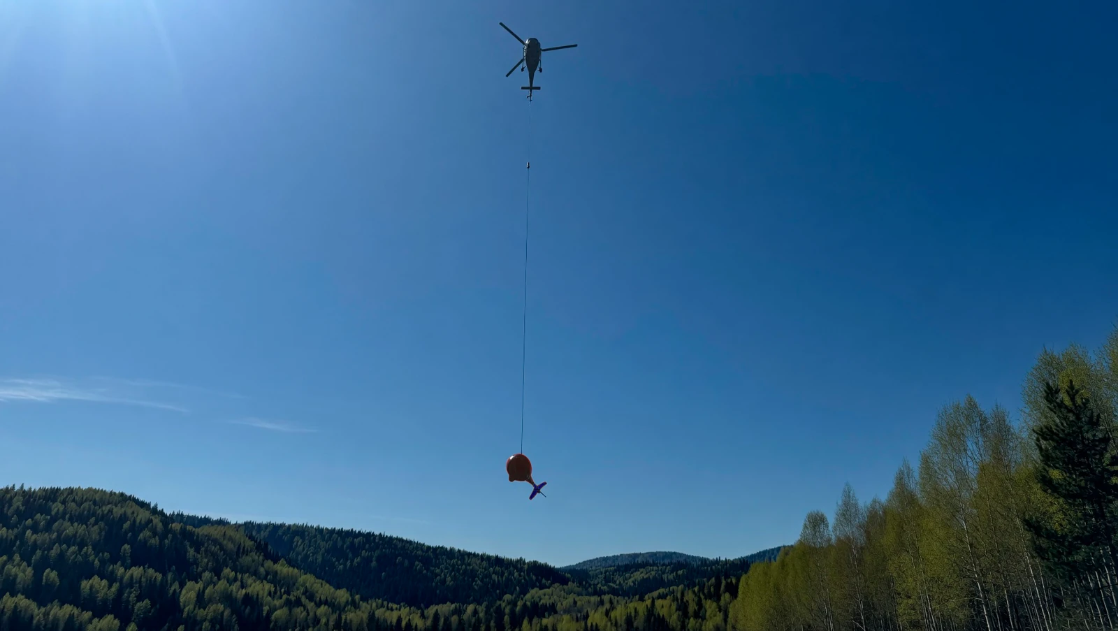
- Compatible with most helicopters
- 1D and 3D data inversion
- Proprietary post-processing algorithms
- Multi-method airborne surveys
Exploration applications
Porphyry copper-gold-molybdenum deposits
Epithermal gold and silver deposits
Massive sulphide deposits (VMS, SEDEX)
Uranium deposits
Rare-earth element deposits
Geothermal resources
Primary exploration tasks
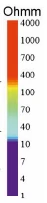
- Resistivity mapping
- Detection of buried conductive targets
- Detection of concealed intrusions
- Delineation of faults and fracture zones
- Mapping basement boundaries and structure
- Identification of alteration zones
- Tracing ore-controlling structures and faults laterally and at depth
Equipment
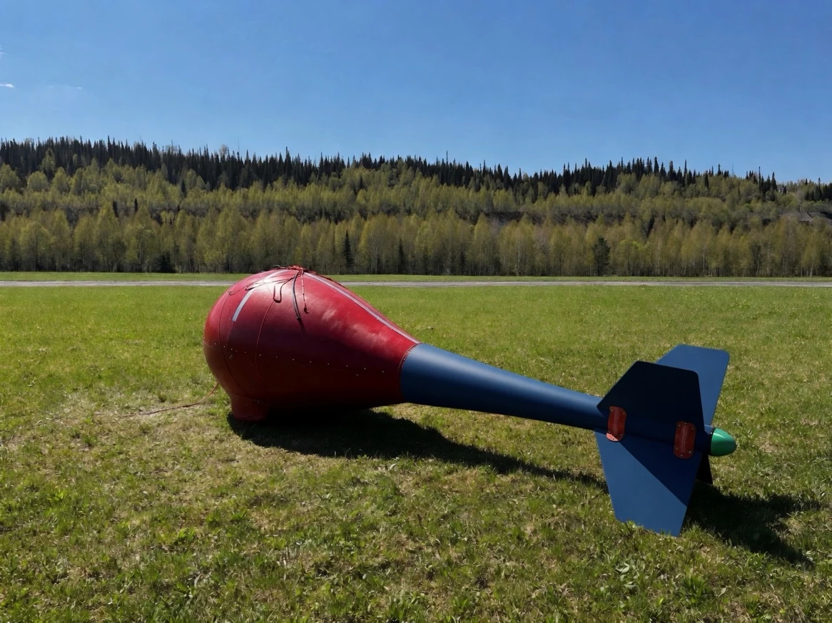

Field source
Natural electromagnetic fields
| Airborne components | Hx, Hy, Hz |
|---|---|
| Base-station components | Hx, Hy, Hz, Ex, Ey |
| Field source | Natural electromagnetic fields |
Technical reference
AGP-MT specifications
| Airborne components | Hx, Hy, Hz |
|---|---|
| Base-station components | Hx, Hy, Hz, Ex, Ey |
| Field source | Natural electromagnetic fields |
| Frequency range | 25–20,000 Hz |
| Sampling rate | 120,000 Hz |
| Recorded data | Time series |
| Receiver configuration | Towed receiver bird |
| Survey speed | Up to 100 km/h |
| System mass | 150 kg |
| Aircraft | Light helicopter |
Survey examples

Advantages over ground-based methods
- Shorter field acquisition campaigns
- Surveying in mountainous and difficult-to-access terrain
- Consistent acquisition parameters
- Regular survey grids with fewer coverage gaps
- Extended field season, subject to weather and natural-field conditions