
← AGP Consulting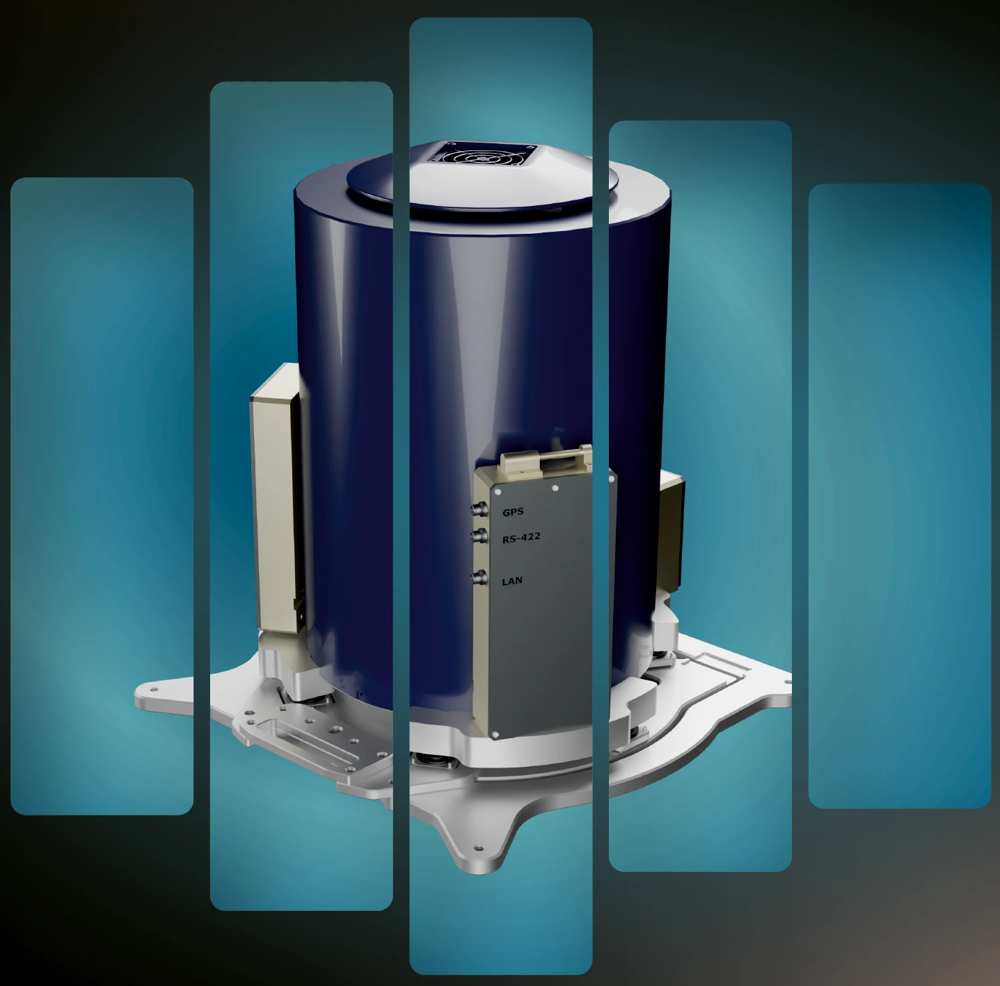
Technologies
AGP-GRAV
Airborne gravimetric survey system based on a new-generation strapdown gravimeter
≤0.2 mGalSpecified gravity-anomaly error
25 kgSystem mass
Up to 320 HzAll-sensor sampling rate
AGP-GRAV
System overview
AGP-GRAV is an airborne geophysical survey system built around a new-generation strapdown gravimeter. Airborne gravimetry maps subsurface density contrasts, supporting mineral and hydrocarbon exploration as well as geological mapping.
The standard AGP-GRAV configuration includes magnetometry and can be expanded with electromagnetic surveying, gamma-ray spectrometry, airborne laser scanning and aerial photography.
System characteristics
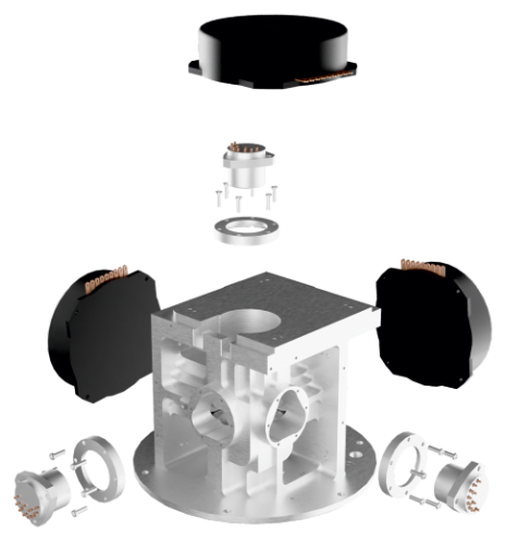
- Two accelerometer sets for improved accuracy
- Navigation-grade inertial sensors
- Enhanced thermal stabilization
- Optimized balance of dynamic range and sensitivity
- Low residual drift
- High-precision GNSS receiver included
- Designed for improved accuracy over stabilized-platform gravimeters
- Low power consumption and compact dimensions
Core capabilities
- Terrain-following survey capability
- Compatible with multiple aircraft types, including UAVs
- Robustness to external disturbances
- Autonomous operation and ease of use
- Proprietary data post-processing algorithms
- High reliability
Exploration applications
Porphyry copper deposits
Hydrocarbon deposits
Epithermal gold deposits
Primary exploration tasks
- Detection of buried intrusive bodies
- Mapping sedimentary basin structure
- Delineation of salt-dome structures
- Mapping faults
- Investigating basement structure
- Refining geoid models
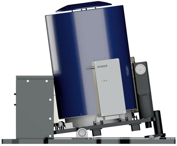
Equipment
Technical reference
AGP-GRAV specifications
| Power consumption | ≤120 W |
|---|---|
| Mass | 25 kg |
| Dynamic range | ±2 g |
| Gyroscopes | 3 |
| Accelerometers | 6 |
| Gravity-anomaly error (specified) | ≤0.2 mGal |
| All-sensor sampling rate | Up to 320 Hz |
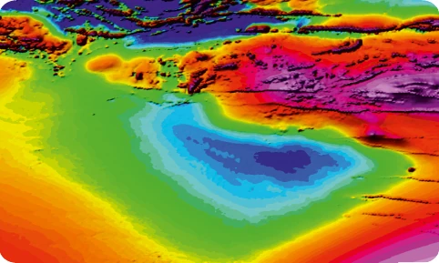
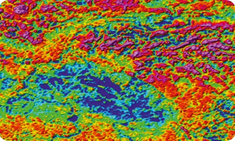
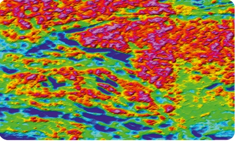
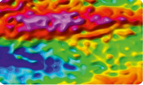
Example: delineating intrusions
Geophysical signatures of granitic bodies
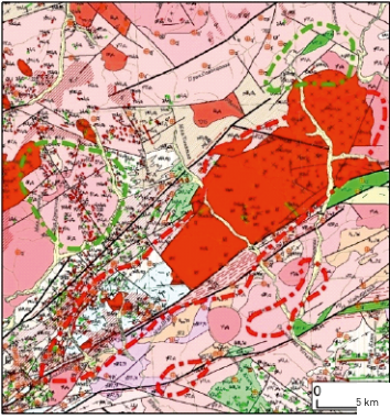
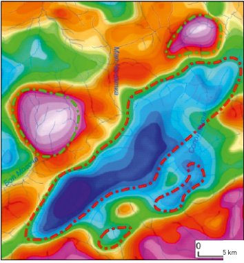
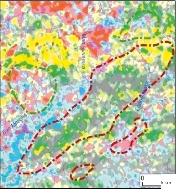
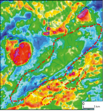
Multi-method surveys with AGP-GRAV
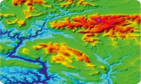
Advantages over ground-based methods
- Shorter field acquisition campaigns
- Surveying in mountainous and difficult-to-access terrain
- Consistent acquisition parameters
- Regular survey grids with fewer coverage gaps
- Extended field season, subject to weather and operating conditions